


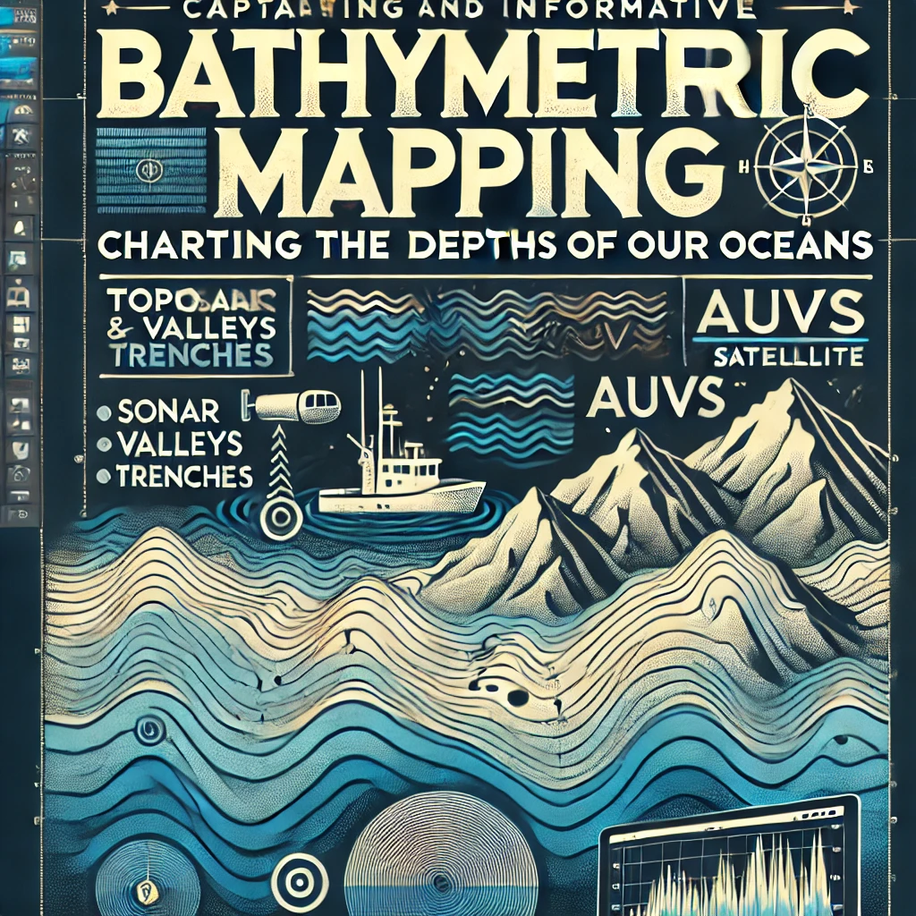
The world beneath the ocean surface is a mysterious realm that holds the keys to understanding Earth’s past, present, and future. Bathymetric mapping, the science of charting the underwater topography, is an essential tool in unraveling these mysteries. It plays a vital role in various fields, including marine science, oceanography, geology, environmental management, and maritime navigation. As we delve into the intricacies of bathymetric mapping, we’ll explore its methods, applications, challenges, and future trends extensively to emphasize its significance.
Understanding Bathymetric Mapping
Definition and Importance
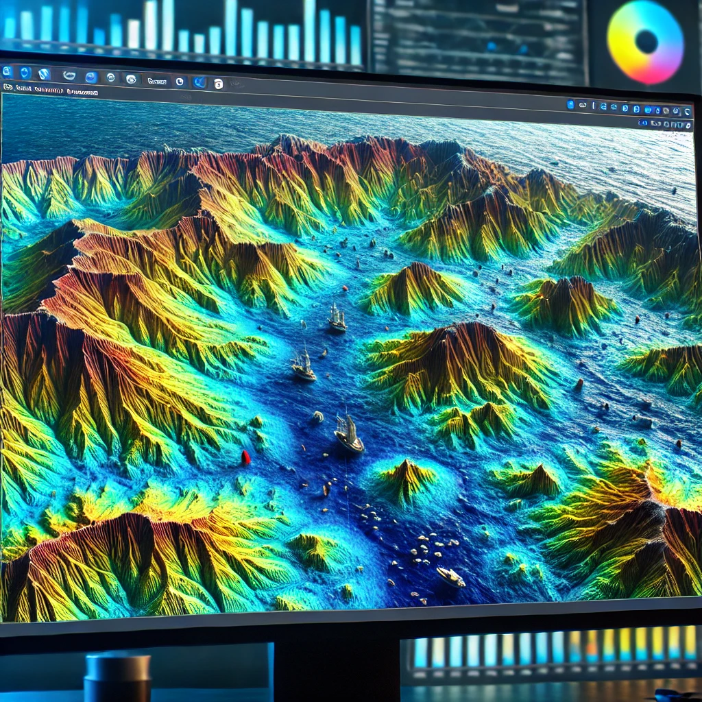
Bathymetric mapping refers to the process of measuring and charting the depths of oceans, seas, rivers, and other water bodies. Unlike topographic maps that depict land elevations, bathymetric maps illustrate underwater features such as valleys, mountains, plains, and trenches. These maps are crucial for understanding the seafloor’s structure, aiding in navigation, resource exploration, habitat assessment, and environmental protection.
Historical Context
The history of bathymetric mapping dates back to ancient civilizations that used rudimentary tools to gauge water depths. However, modern bathymetric mapping began in the 19th century with the invention of the echo sounder, a revolutionary tool that uses sound waves to determine water depths. Today, technological advancements have propelled bathymetric mapping into new realms, providing high-resolution, three-dimensional representations of the seafloor.
Methods of Bathymetric Mapping
The methods employed in bathymetric mapping have evolved significantly over the years, incorporating cutting-edge technology and innovative approaches to enhance accuracy and efficiency.
1. Echo Sounding
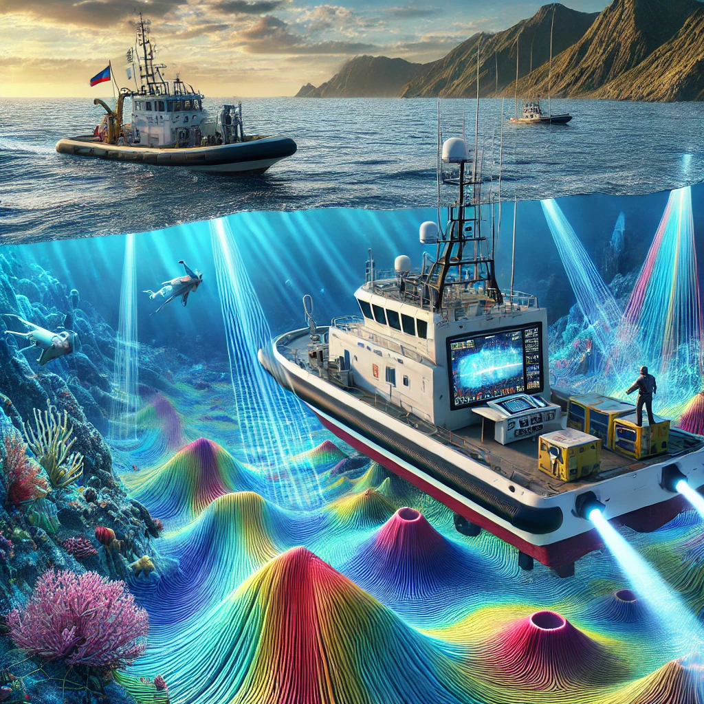
Echo sounding, the most traditional method of bathymetric mapping, involves sending sound pulses from a ship or boat to the seafloor and measuring the time it takes for the echo to return. The time interval is then converted into distance, providing a depth measurement.
- Single-Beam Echo Sounding: This method uses a single beam of sound waves directed vertically downwards. While cost-effective, it provides limited coverage and is best suited for smaller areas or shallow waters.
- Multi-Beam Echo Sounding: In contrast, multi-beam systems emit multiple beams in a fan shape, covering a wider swath of the seafloor. This method offers high-resolution data and is ideal for detailed mapping of larger areas.
2. Sonar Technology
Sonar technology, specifically side-scan sonar, is another essential tool in bathymetric mapping. It uses sound waves to produce detailed images of the seafloor, capturing features that traditional echo sounders may miss.
- Side-Scan Sonar: This system emits sound waves at an angle, allowing it to capture images of underwater objects and terrain. It’s particularly useful for identifying shipwrecks, coral reefs, and other submerged features.
3. Satellite Altimetry
Satellite altimetry is a modern method that uses satellite radar to measure the sea surface height and infer seafloor topography. Although less precise than sonar-based techniques, it offers extensive coverage and is valuable for mapping remote and deep ocean areas.
4. Light Detection and Ranging (LiDAR)
LiDAR is a laser-based technology used for bathymetric mapping in shallow waters. It involves emitting laser pulses from an aircraft or drone and measuring the time it takes for the light to return after hitting the seafloor. LiDAR is particularly effective in mapping coastal regions, estuaries, and coral reefs.
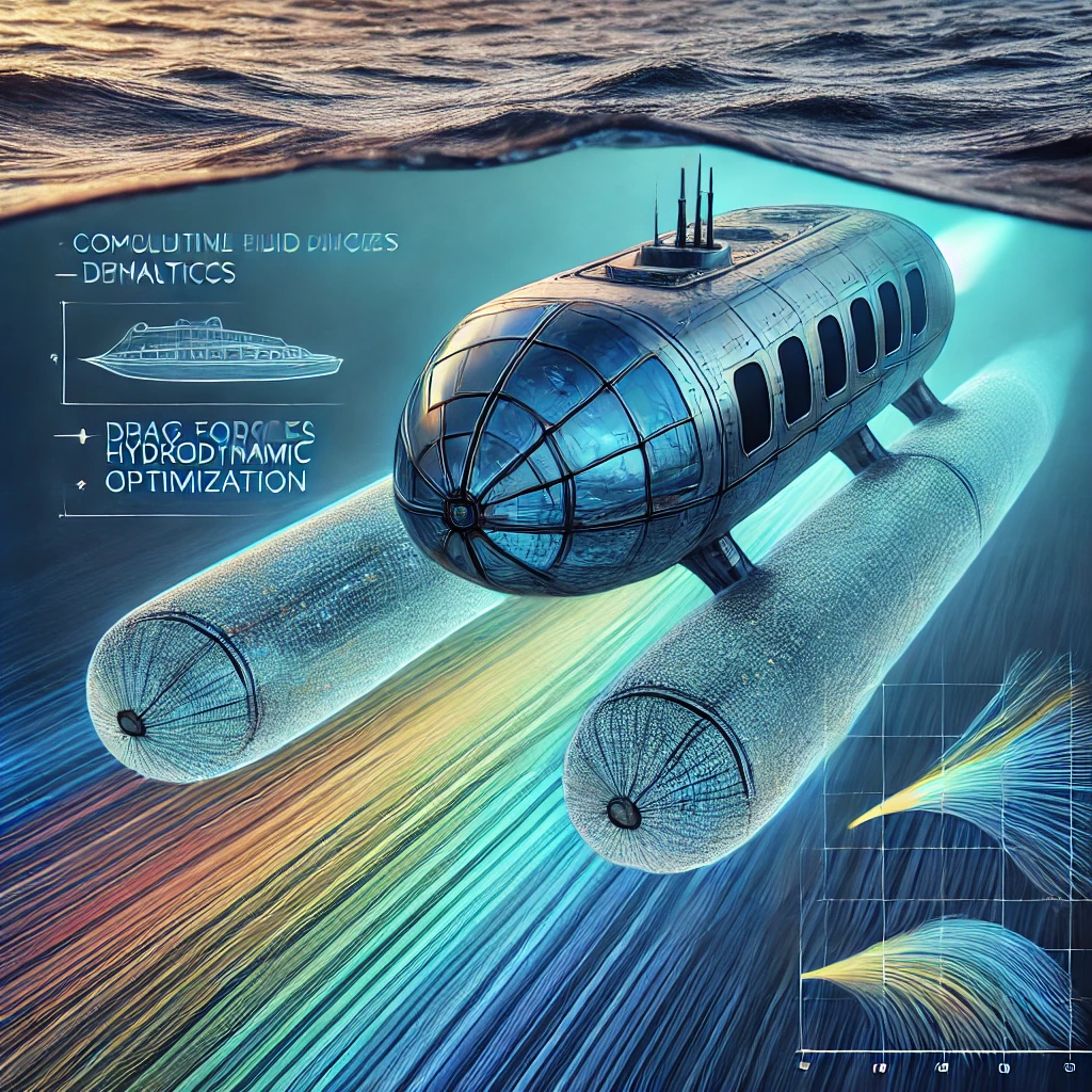
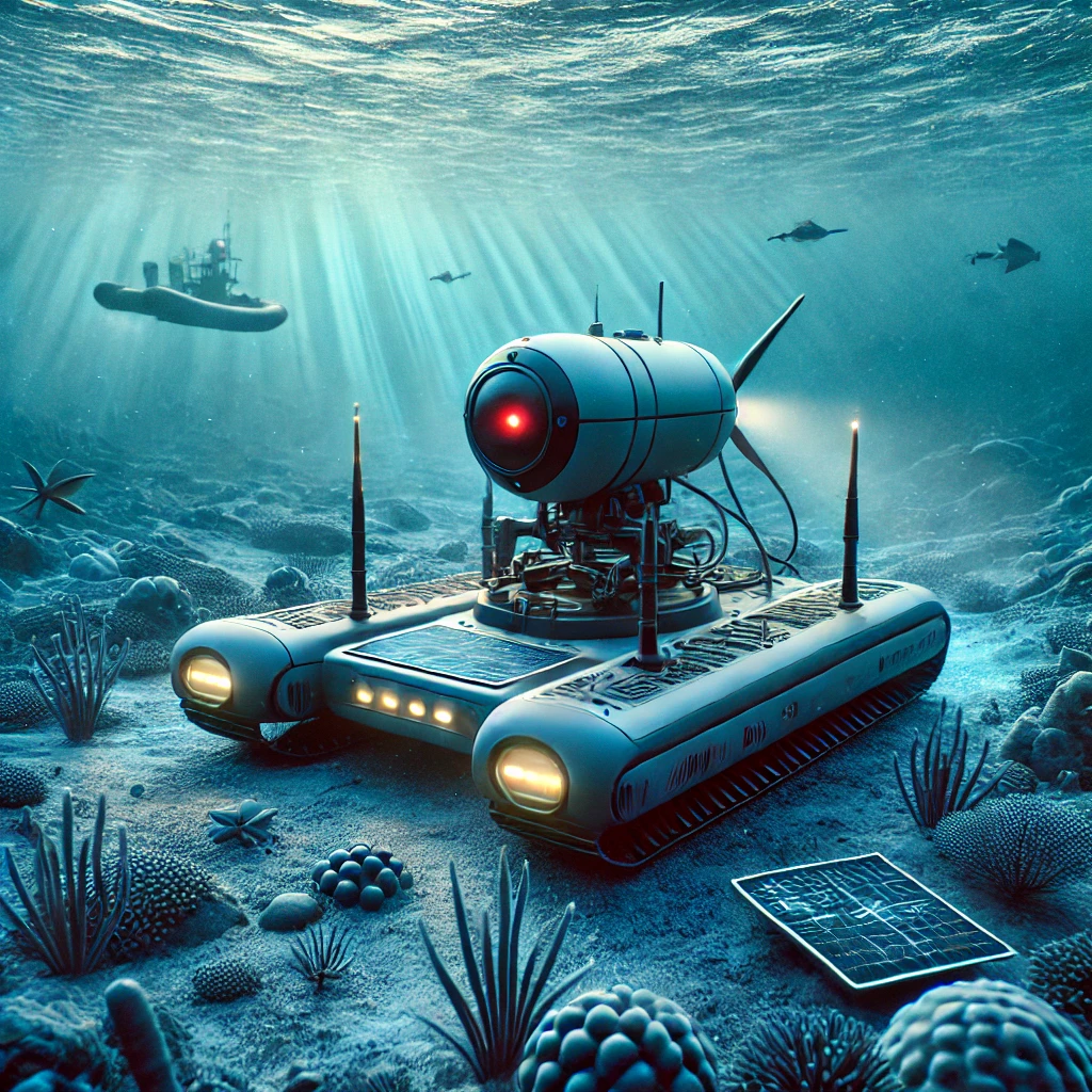
5. Autonomous Underwater Vehicles (AUVs)
AUVs are robotic submarines equipped with sonar and other sensors to conduct bathymetric surveys. They can operate in challenging environments and provide high-resolution data for scientific research and exploration.
Applications of Bathymetric Mapping
Bathymetric mapping has a wide range of applications that benefit various sectors and disciplines. Its ability to provide detailed seafloor data makes it indispensable in the following areas:
1. Marine Navigation
Navigating the vast and often treacherous waters requires accurate bathymetric maps. These maps help mariners avoid hazards, such as submerged rocks and sandbars, and ensure safe passage through shipping lanes and ports.
2. Environmental Monitoring
Bathymetric mapping is crucial for monitoring and managing marine ecosystems. It aids in assessing habitat distribution, studying marine biodiversity, and evaluating the impacts of human activities on the seafloor.
3. Resource Exploration
The seafloor holds valuable resources, including oil, gas, minerals, and renewable energy sources. Bathymetric mapping guides resource exploration by identifying potential sites for extraction and assessing geological features.
4. Coastal Engineering
Coastal areas are dynamic environments that require careful planning and management. Bathymetric mapping informs coastal engineering projects, such as constructing harbors, breakwaters, and beach nourishment programs.
5. Oceanographic Research
Oceanographers rely on bathymetric maps to study ocean currents, tides, and climate change. These maps provide insights into seafloor processes, plate tectonics, and the ocean’s role in the Earth’s system.
6. Disaster Preparedness
Natural disasters, such as tsunamis and hurricanes, pose significant threats to coastal communities. Bathymetric mapping aids in assessing vulnerability, modeling wave behavior, and developing early warning systems.
Challenges in Bathymetric Mapping
While bathymetric mapping is a powerful tool, it faces several challenges that affect its accuracy and effectiveness.
1. Data Quality and Resolution
Achieving high-quality, high-resolution data is a primary challenge in bathymetric mapping. Factors such as water turbidity, sound wave interference, and equipment limitations can affect data accuracy.
2. Environmental Conditions
Harsh weather, strong currents, and rough seas can impede bathymetric surveys, making it difficult to obtain consistent and reliable data.
3. Depth Limitations
Certain mapping methods, such as LiDAR, are limited to shallow waters and cannot penetrate deep ocean depths. Conversely, satellite altimetry provides broad coverage but lacks the precision needed for detailed mapping.
4. Access to Remote Areas
Mapping remote and inaccessible regions, such as the Arctic or deep-sea trenches, presents logistical and technical challenges that require innovative solutions.
5. Cost and Resources
Conducting bathymetric surveys can be expensive and resource-intensive, necessitating specialized equipment, vessels, and trained personnel.
Future Trends in Bathymetric Mapping
The future of bathymetric mapping holds exciting possibilities as technology continues to advance and new methodologies emerge.
1. Integration of Technologies
Integrating various technologies, such as sonar, LiDAR, and satellite data, will enhance bathymetric mapping capabilities. This convergence will lead to more accurate and comprehensive maps, benefiting multiple applications.
2. Artificial Intelligence and Machine Learning
AI and machine learning algorithms are poised to revolutionize bathymetric mapping by automating data processing, enhancing pattern recognition, and improving predictive modeling.
3. Unmanned Systems and Automation
The use of unmanned systems, such as drones and AUVs, will increase the efficiency and reach of bathymetric surveys. Automation will enable continuous monitoring and real-time data acquisition.
4. Crowdsourced Bathymetry
Engaging the public in data collection through crowdsourcing initiatives will expand the availability of bathymetric data and contribute to global mapping efforts.
5. Climate Change and Environmental Monitoring
As climate change impacts intensify, bathymetric mapping will play a vital role in assessing changes in sea levels, coastal erosion, and marine habitats.

Conclusion
Bathymetric mapping is an indispensable tool that unlocks the secrets of the ocean’s depths. Its applications span a wide range of fields, from navigation and resource exploration to environmental conservation and disaster preparedness. While challenges persist, technological advancements and innovative approaches promise to overcome these obstacles, paving the way for a deeper understanding of our planet’s underwater world.
By continuing to advance bathymetric mapping techniques and embracing new technologies, we can unlock the full potential of this vital science, ensuring a sustainable and informed approach to managing and exploring the ocean’s resources and preserving its delicate ecosystems. As we strive to chart the uncharted and map the unmapped, bathymetric mapping will remain at the forefront of ocean exploration, guiding us into the future with precision and insight.